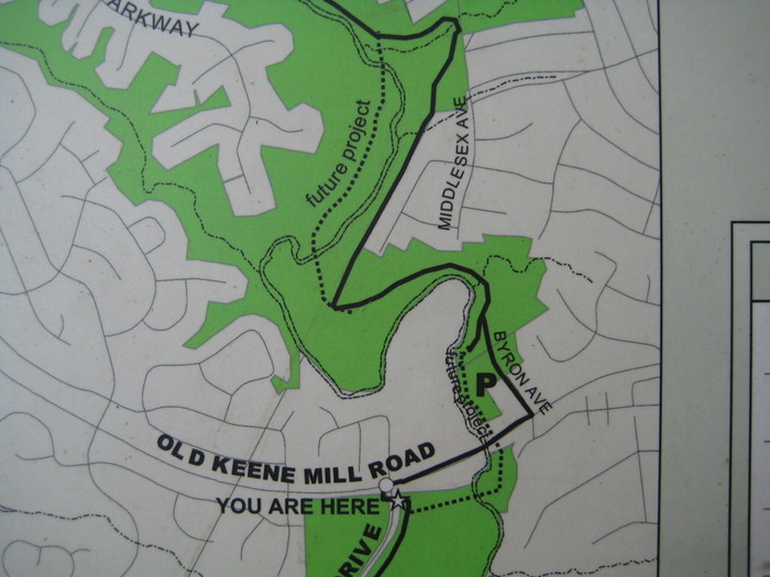
Main Stem 14 Walk
Old Keene Mill Road to
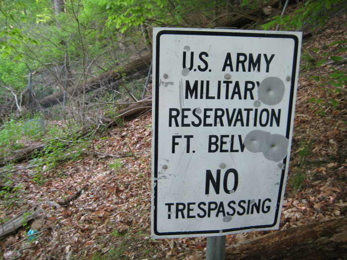
Ft. Belvoir Engineering Proving Ground
2 May 2008: Walked upstream from the north boundary of the Engineer Proving Ground (EPG) to Old Keene Mill Road along the main stem of Accotink Creek.
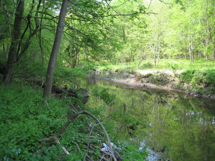
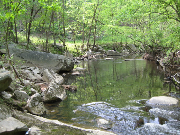
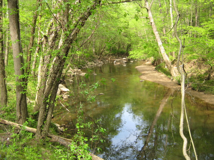
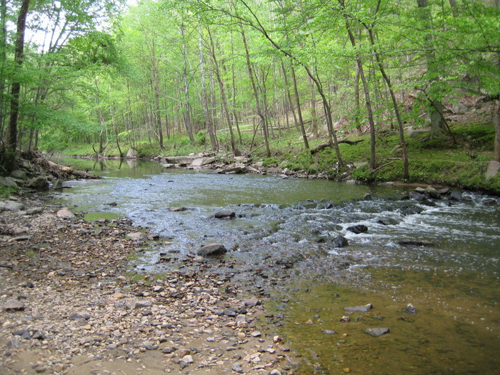
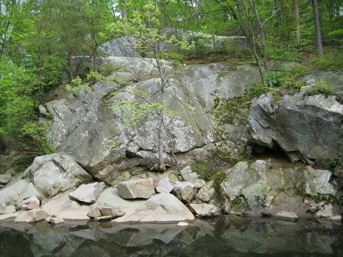
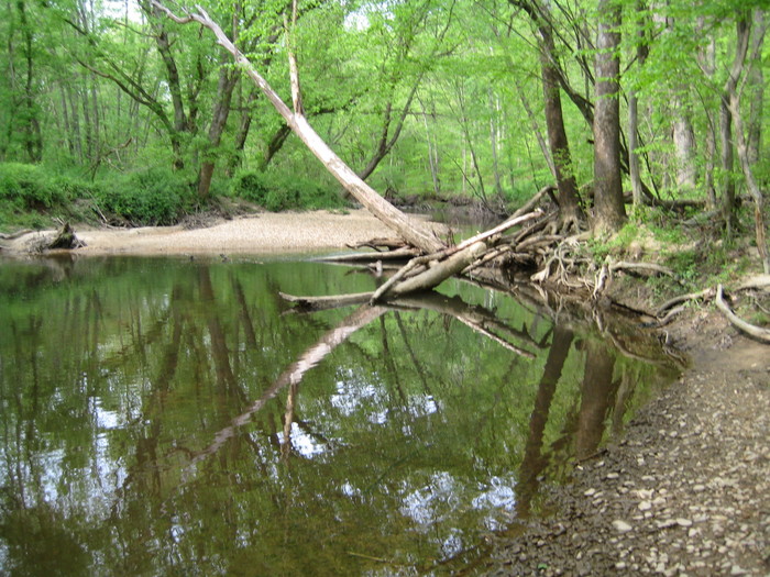
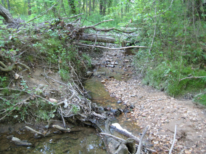
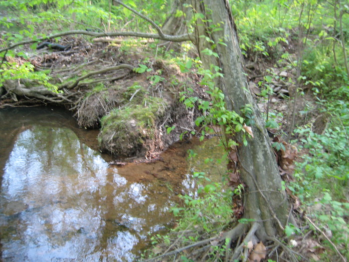
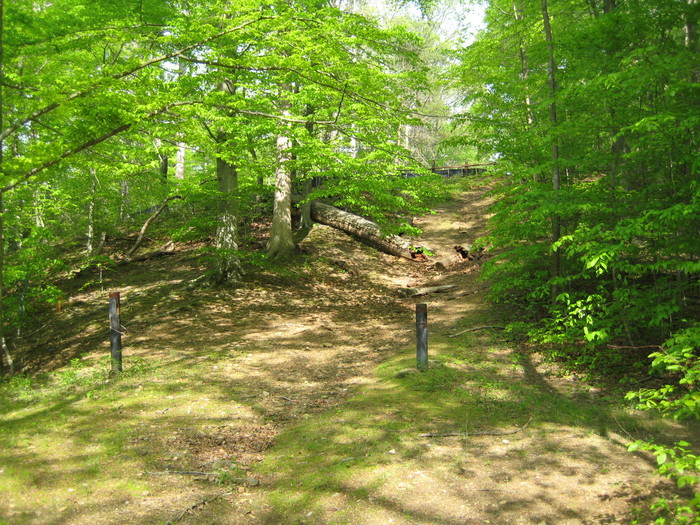
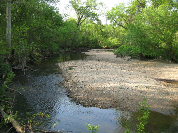
Between the EPG and Hooes Road, Accotink Creek flows through an area of many large rock outcroppings and exposed bedrock. In places the banks show the typical steeply eroded sides. In many other places where the water flows over rock, there is little erosion visible. There are long stretches of slack water here.
Below Hooes Rd, there are none of the logjams of erosion-toppled trees so common along other sections of Accotink Creek, and above Hooes Road there are only two.
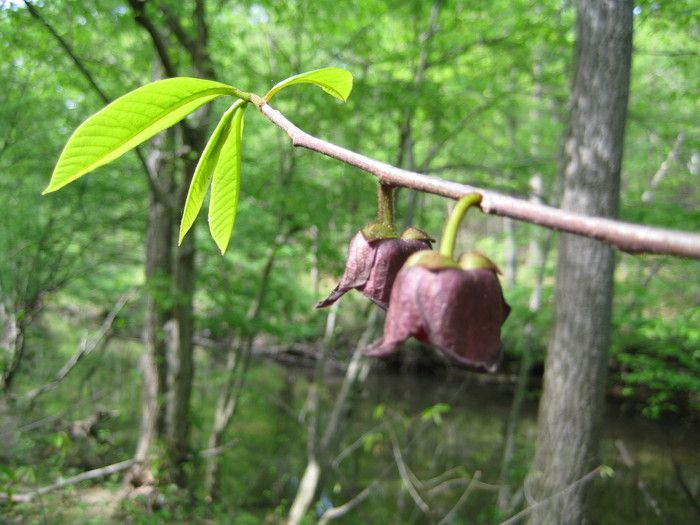
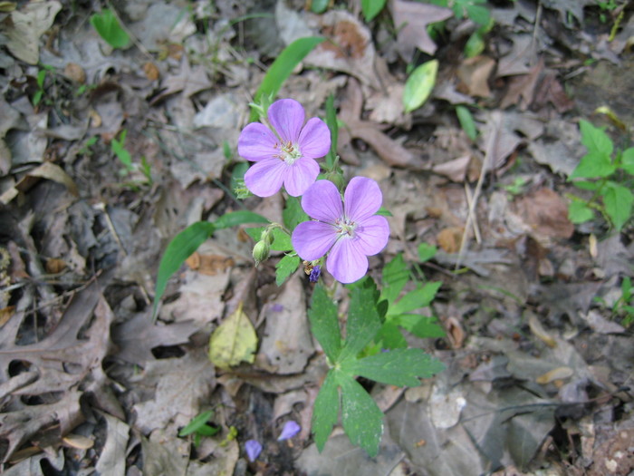
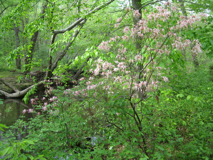
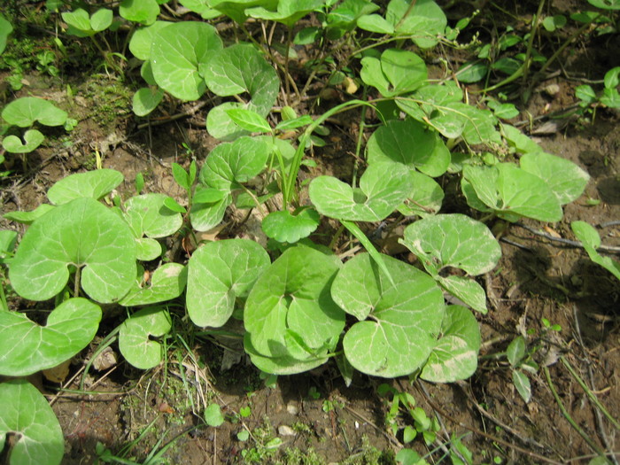
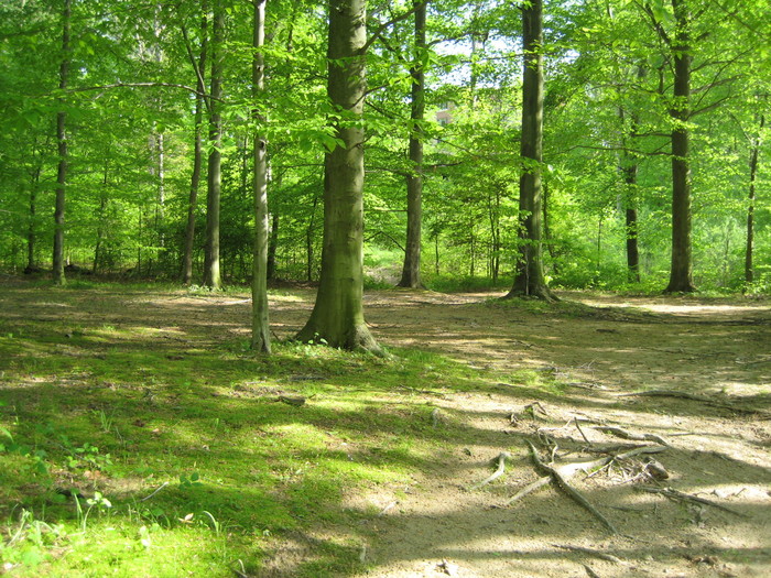
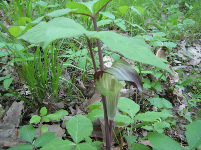
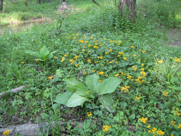
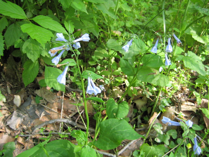
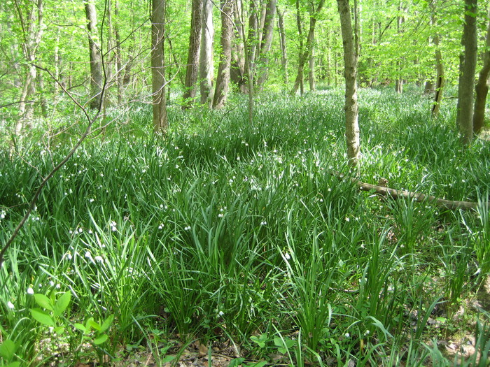
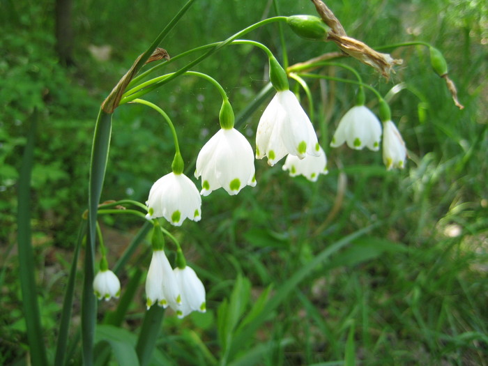
Buffer is good here, with only a few houses visible atop the high bluffs which line the creek along much of this section. Virginia bluebells and paw paws are prevalent here, but so are many alien invasive species, such as Chinese wisteria, Oriental bittersweet, and Japanese stilt grass. There is also an unidentified flowering bulb that covers large areas and must also be an invasive alien species.
Land ownership on both banks below Hooes Road is a patchwork of park and private land. There are no signs to mark any boundaries and few indications of private use of land here. One sign of prior private use is an abandoned in-ground swimming pool, sitting completely alone in the midst of woods below Hooes Rd.
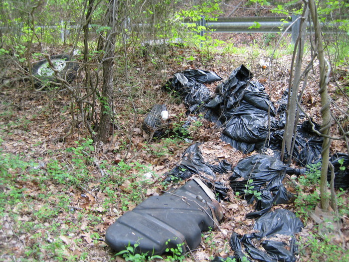
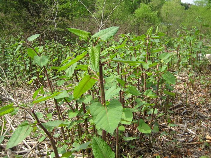
There is little trash below Hooes Rd, but there is some roadside dumping at the Hooes Road bridge. Also at the bridge, a nasty invasive alien species, Japanese knotweed, has established itself.
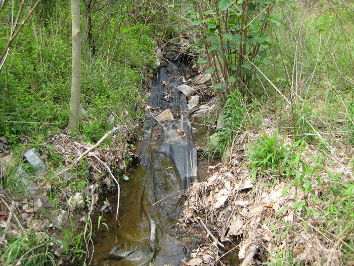
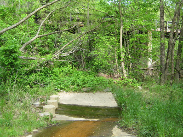
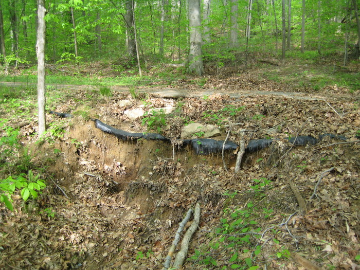
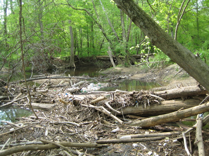
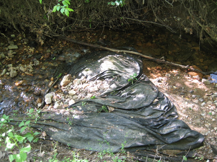
The Franconia-Springfield Parkway (7900) bridge is just above Hooes Rd. Between the two, a small tributary joins from the east. Previous attempts to reinforce its course are failing, with much riprap displaced and geotextile exposed.
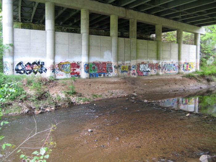
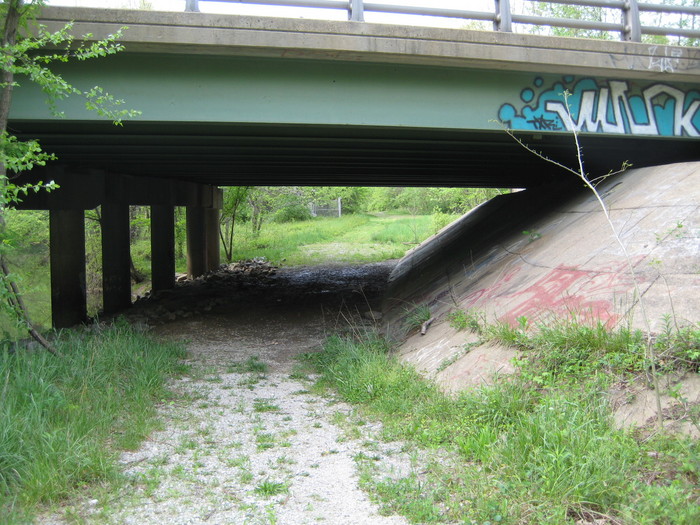
Also between the two bridges is an especially large rock outcropping which seems to be a gathering spot for the young, judging from the wear visible on top. It is kept reasonably clean, however, at least on this day. The 7900 bridge abutments are used as colorful graffiti walls, but none seems to be offensive.
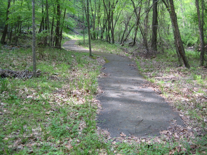
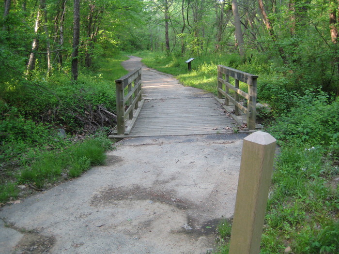
At Hooes Rd, a paved trail begins on the east bank which leads upstream, then eastward into the Greensprings retirement village. Above 7900 there is also a paved trail along the west bank. This is part of the Cross County Trail (CCT). The pavement becomes gravel nearing Old Keene Mill Rd. Major changes are coming to the CCT here. The pavement is to be extended and rerouted through the woods and a concrete bridge to be added just below the Old Keene Mill Road bridge. Additional information on CCT paving
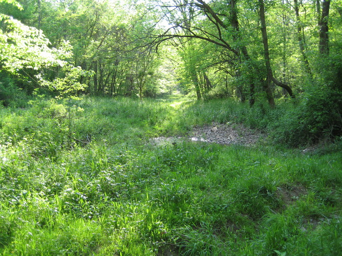
Two eastern tributaries join Accotink Creek between 7900 and Old Keene Mill Rd. One is Calamo Branch. The other, unnamed, also has a failing reinforcement project. Three tributaries join from the west along this stretch, all unnamed.
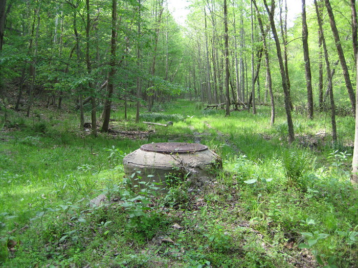
A gas line cut crosses the creek here. There is a significant amount of trash in the woods below the cut, carried there during flooding. There is also a sewer line cut, not as regularly maintained as some, which has evolved into a series of pools.
Buffer is also good here, with only a few houses to be seen atop the eastern bluffs. The west bank is flatter and broader here than below Hooes Rd. The entire west bank is park here, as is the east bank near Greensprings. There is little Chinese wisteria above Hooes Rd, but all other invasive species are the same. This section of the creek is largely spared dense thickets of multiflora rose, but it is present.
Photos: