|
Calamo Branch |
September 2014 and January 2015: Photographed accessible parts of Calamo Branch, starting with the confluence into Accotink Creek (photo a), upstream to the extent of the apparent watershed. Photos were taken where the Calamo Branch crosses public streets and parks. Some stretches are not accessible without trespassing. Photographs illustrate flow from minor rainfalls.
Photo locations by letter Mouth of the Calamo Branch. (photo a) At the mouth of Calamo Branch is a thriving thicket of bamboo (photo b). As it flows into the Accotink, the Calamo Branch lower (southern) bank shows erosion undercutting treed bank (photo c). |
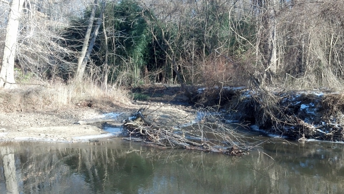
photo a: |
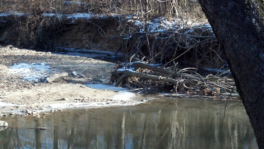
photo c: |
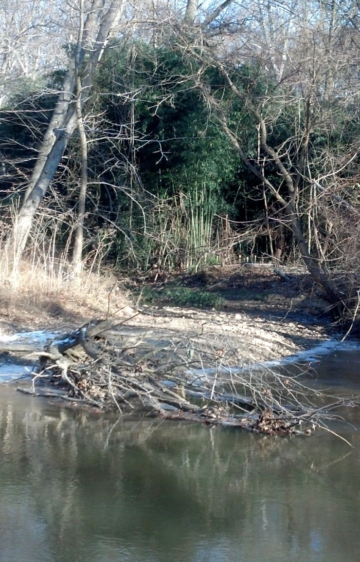
photo b: Homes are perched on promontories overlooking the Accotink on either side of the Calamo Branch confluence. The one to the north is approximately 40 years old, and is apparently threatened by undercutting of the Accotink bank due to erosion from fallen trees reshaping the current. Nearby on the next promontory downstream is perched a 4-5 year-old “McMansion,” over a bank that, thus far, slopes down to the Accotink (photo d). 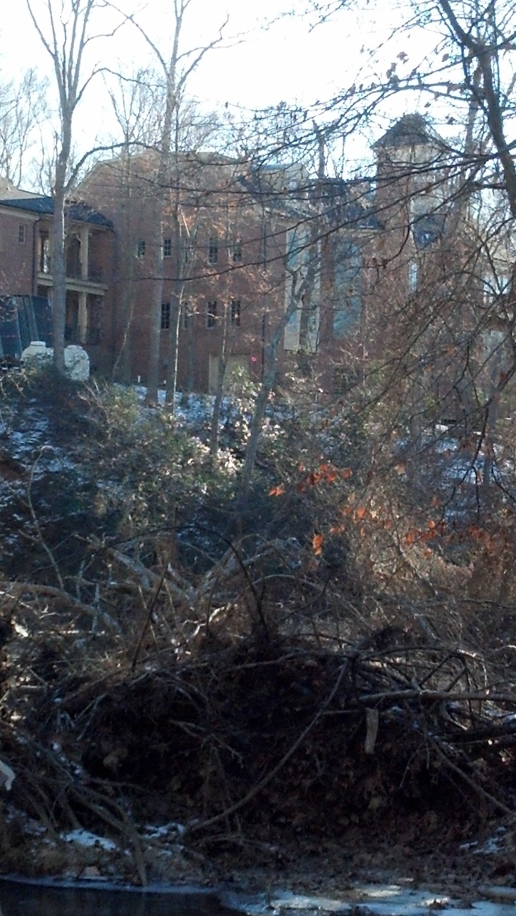
photo d: Lower Calamo Branch. Above its confluence with Accotink Creek, the Calamo Branch flows through private property up to Ridgeway Road, apparently unmodified. This includes a stretch of largely grassy bottomland on the north side, extending approximately a fourth of the distance to Ridgeway, behind residences (photo e). The south side has a sloping bank, mostly wooded. The lower Calamo Branch drains residential neighborhoods between the ridge that parallels Ridgeway Drive to the north, and the ridge south of Oriole Avenue. 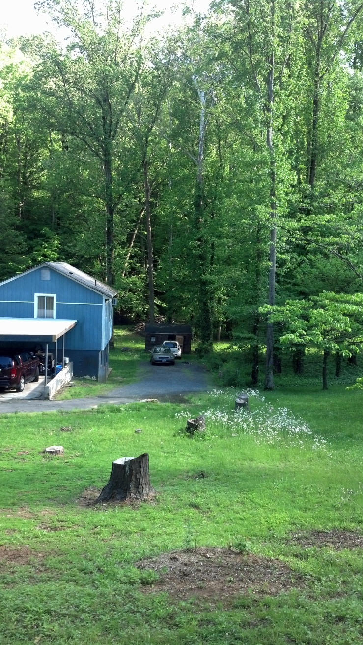
photo e: At Ridgeway Dr., Calamo Branch goes through twin culverts, then flows over rocky streambed (photos f and g). The culverts are apparent fish obstructions, with over a foot drop in typical flow. As captured in the photos, this is an inviting place for wary native youth to have private phone conversations. 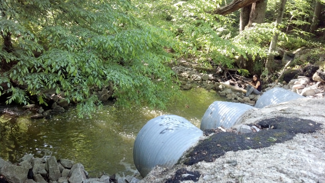
photo f: 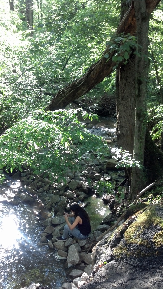
photo g: Above Ridgeway, the Calamo Branch has a main channel/fork and a secondary (“South”) fork for most of the distance to the next street crossing upstream (photos h and i). |
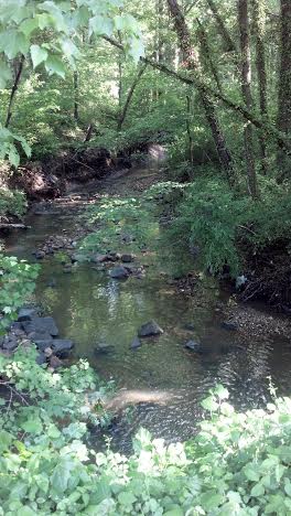
photo h: |
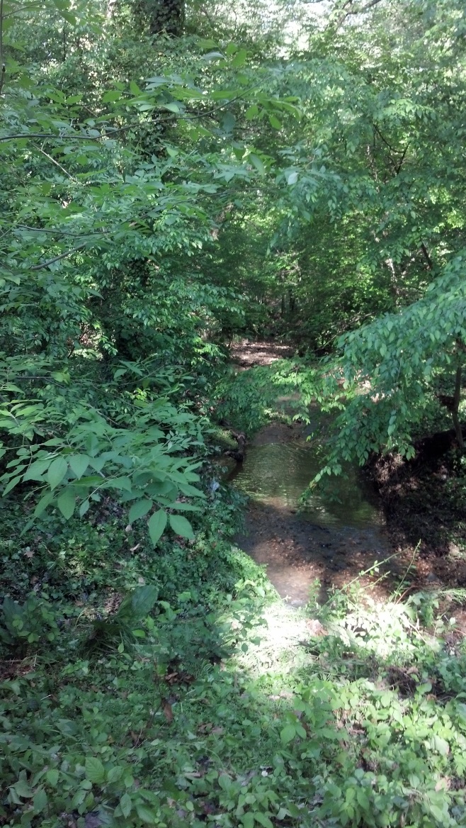
photo i: |
|
In the stretch between Ridgeway Rd. and Spring Rd, three forks converge into the Calamo Branch. Subsequent notes identify the channels by general directions of their sources as “north fork” (photo j) flows from the north, “east fork” (photo k) flows from under Spring Rd and the east, and “south fork” (photo l) flows from the south along Spring Road. 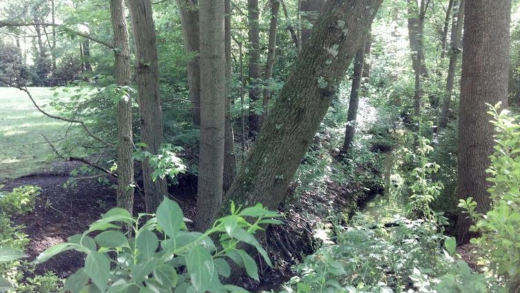
photo j: 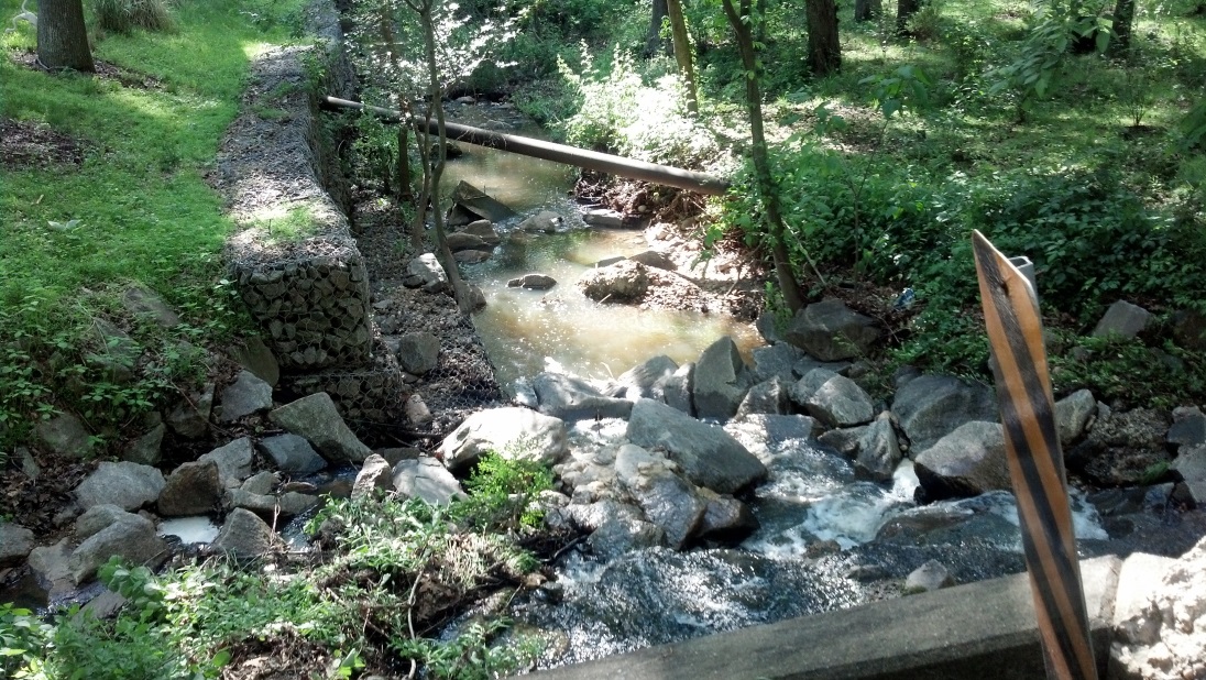
photo k: 
photo l: North Fork Watershed. The lower end of the north fork is not channelized between its confluence and Tanager Street (photo m). 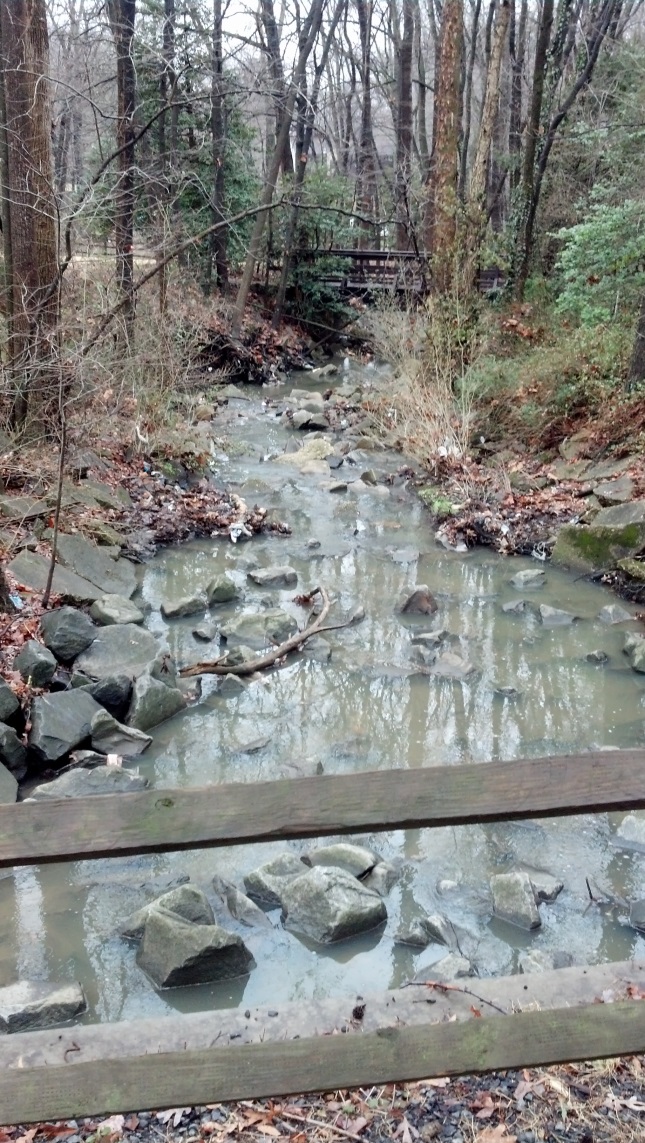
photo m: Above Tanager Street, the north fork flows down a concrete channel above ground (photo n) 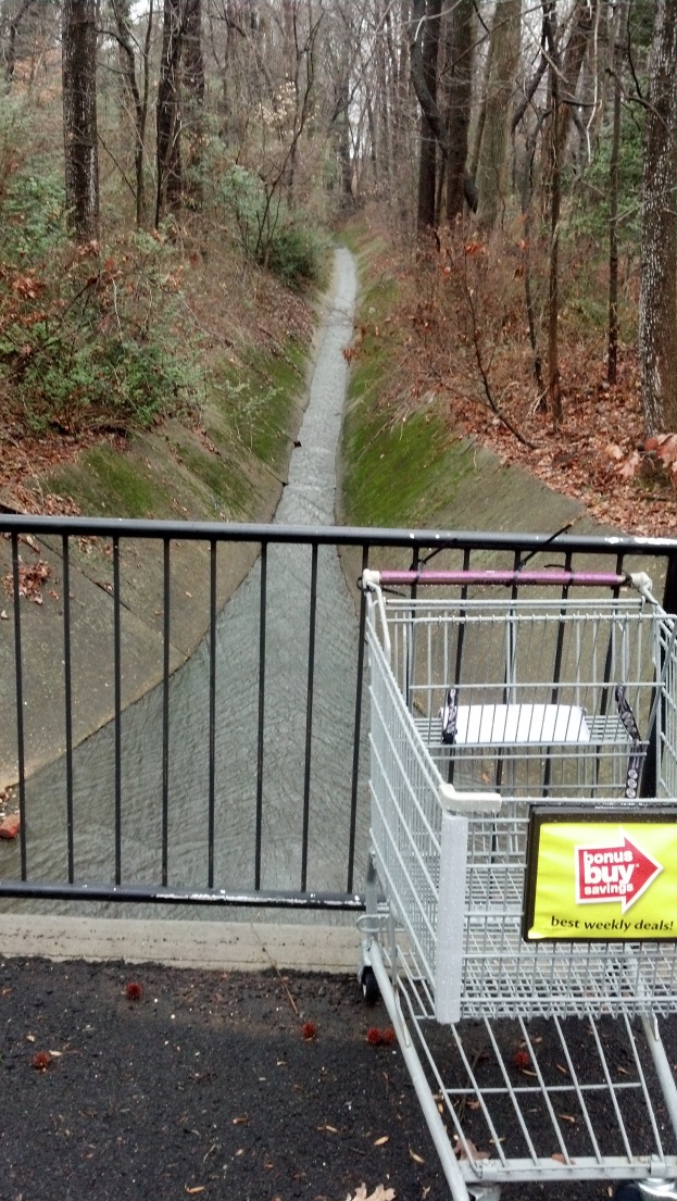
photo n: The north fork emanates from underground storm sewer that comes above ground below the playground of Garfield Elementary School (photo o). 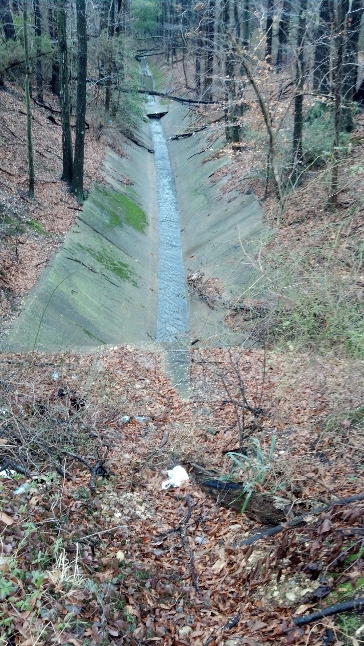
photo o: The front part of Garfield Elementary property is primarily drained via the ditch along Spring Road. It has construction ongoing in the front (photo p) and rear of the existing building, stretching to the back (west end) of the property. 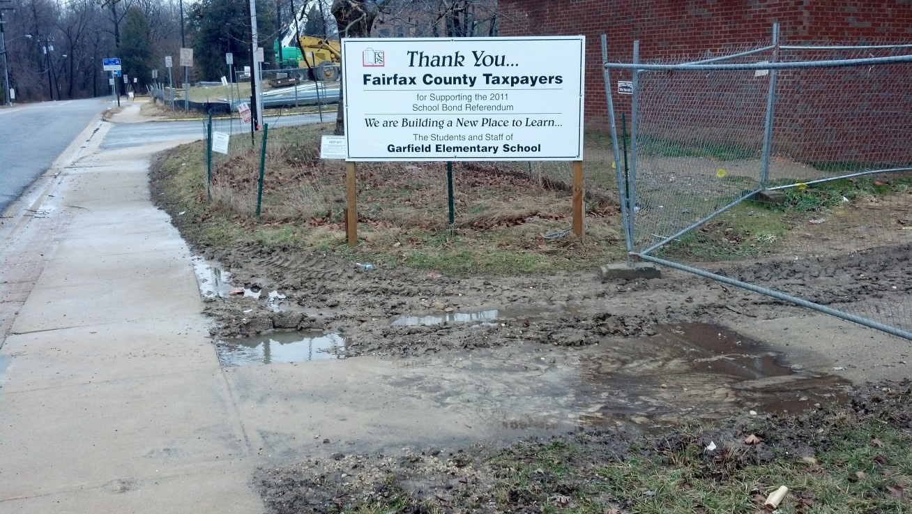
photo p: The north fork drains Springfield Plaza and a watershed that is roughly bound by Commerce Street and Interstate 95, south until approximately where Old Keene Mill crosses the Interstate (photos r and s). |
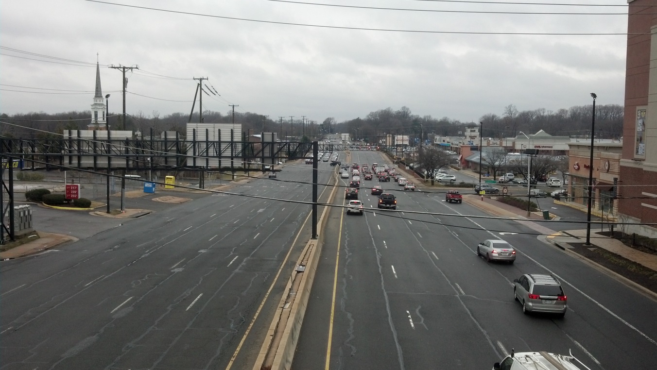
photo r: |
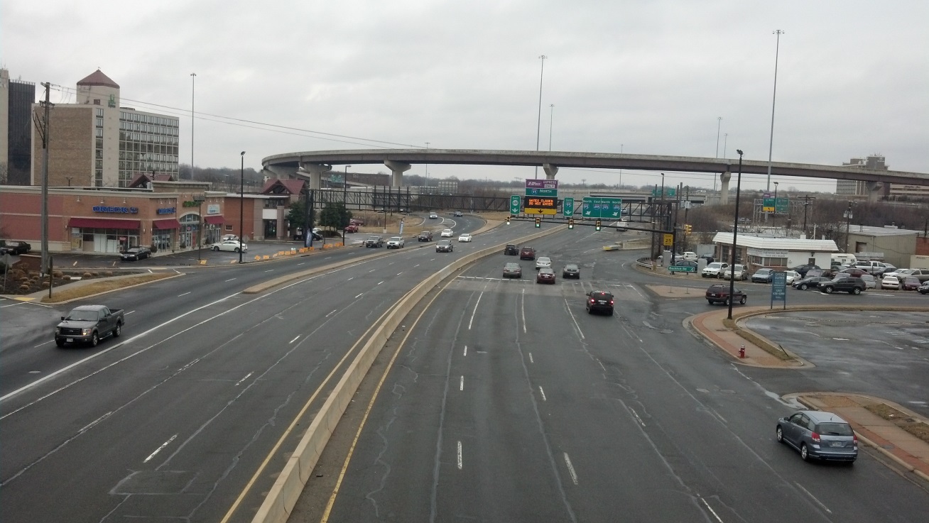
photo s: |
|
In addition to the areas north of Old Keene Mill Road, the impervious surfaces lying west of the Interstate, south of Old Keene Mill Road (photo t) until about Calamo Street, seem to be drained to the underground system that flows to the north fork. This is conjecture, without benefit of GIS research. 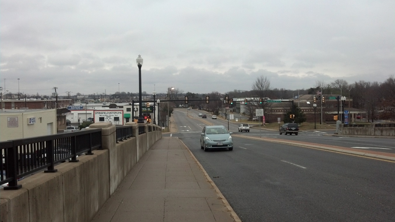
photo t: Surface drainage from a residential area flows in what could be called the NE sub-fork. It does not seem to receive a great deal of drainage from commercial surfaces, but it does collect from Springfield United MethodistChurch and the residential area bound by Spring Road, Backlick, Old Keene Mill, and Calamo. This fork flows along the east side of Spring Rd (photo u) until it crosses under Spring Rd. to join the north fork. 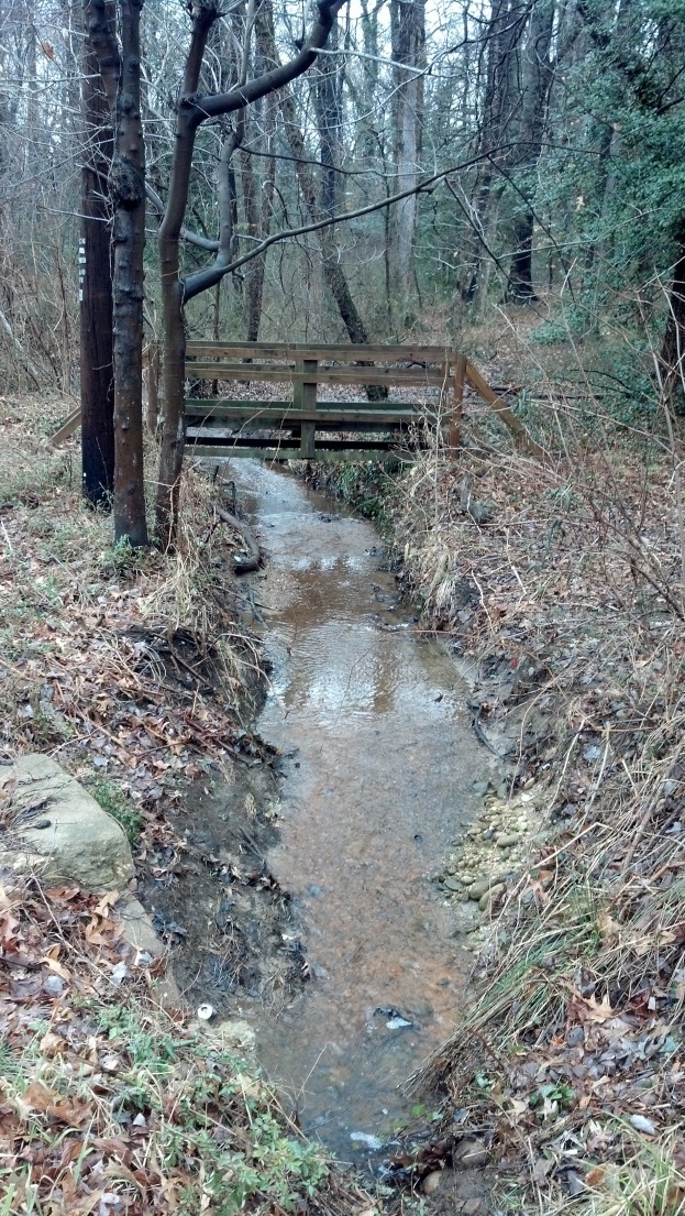
photo u: East Fork Watershed. Above Spring Road, the east fork flows through a wooded area with brushy and treed buffer zones (photos v, w, and x), some of which is apparently private. English ivy abounds in this area. |
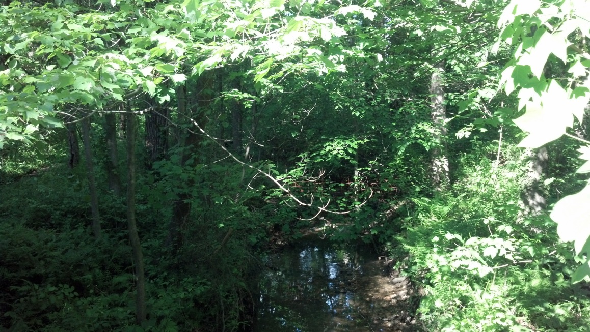
photo v: |
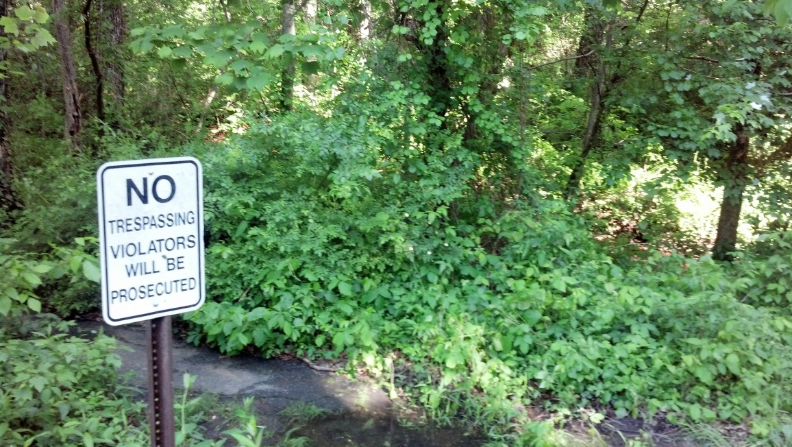
photo w: |
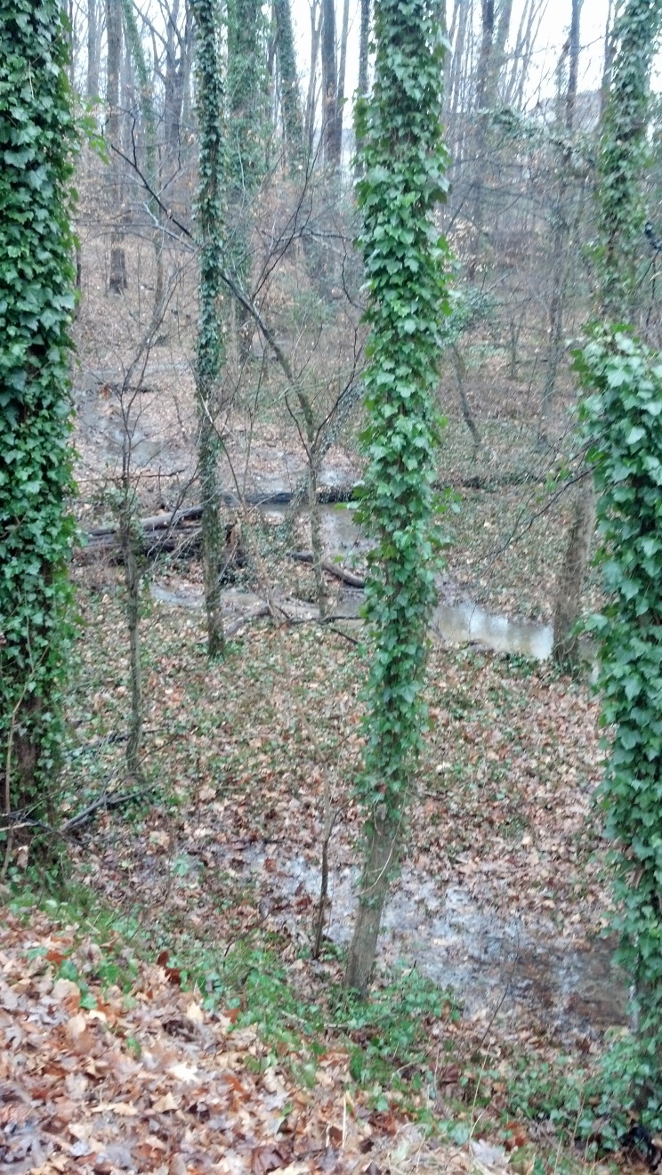
photo x: Below the rear of Brookfield Plaza and the adjoining Springfield Garden condominium, there is a small park for the condo community through which the east fork flows, under a foot bridge, as it drains the north and south sides of the Brookfield complex (photos y and z). Considerable refuse is evident in this area. |
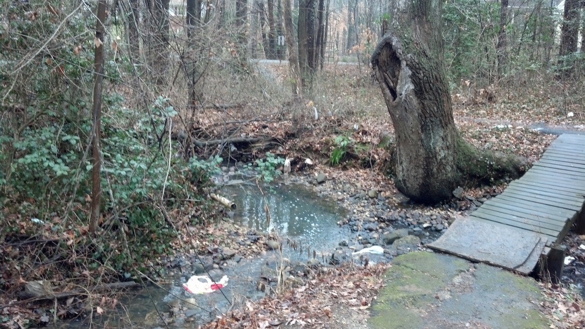
photo y: |
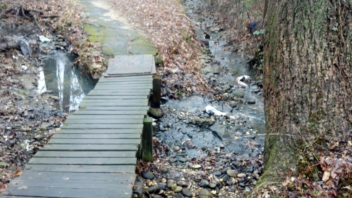
photo z: |
|
During the January 2015 visit, there was also evidence of some sort of fluid pollution, in the form of a milky flow from the north side of the Brookfield Plaza complex (photos aa-ff). Private fences prevented location of the source. I did not find the source, but I was able to rule out the petroleum waste collection shed at Springfield Tire and Auto (where my car was being serviced). A County Storm Water Management employee responded to my recorded complaint the next working day, but did not find the source. |
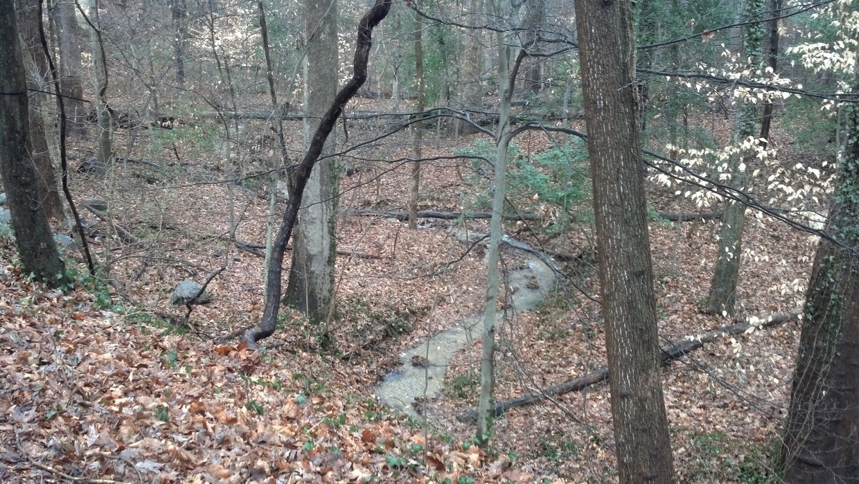
photo aa: |
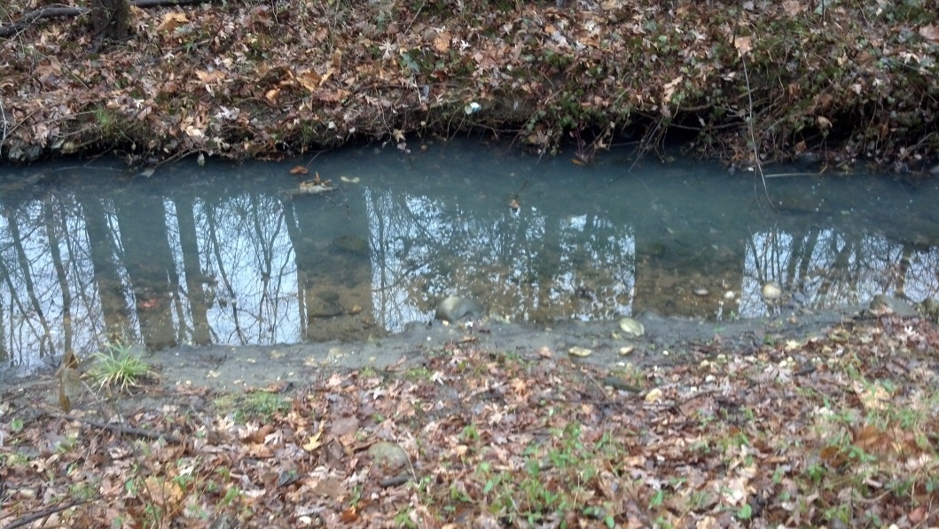
photo cc: |
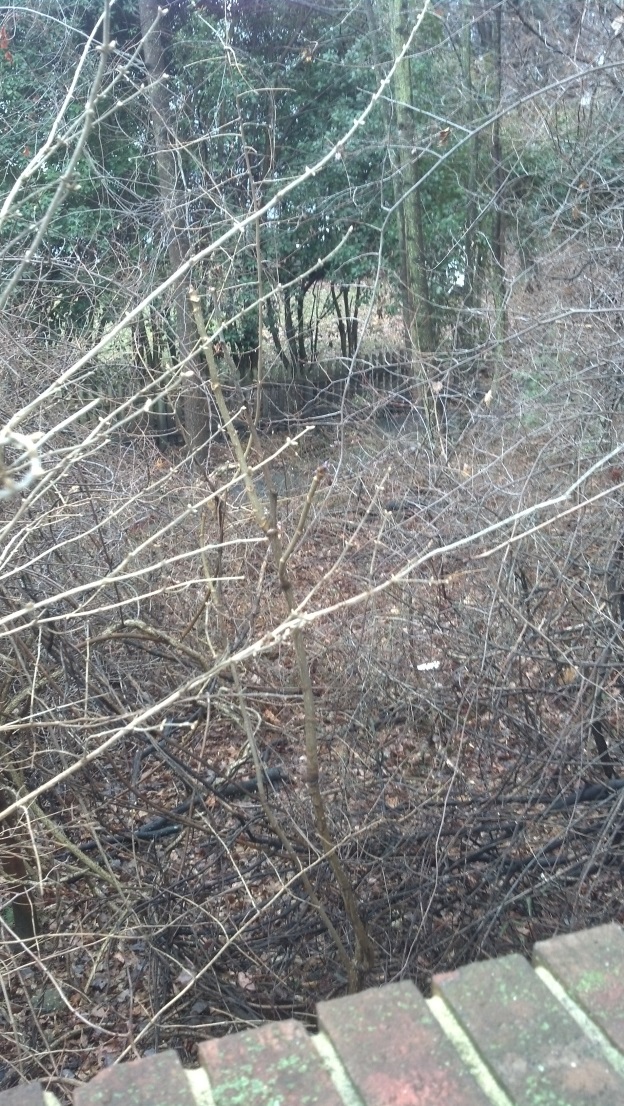
photo bb: |
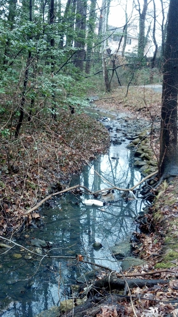
photo dd: |
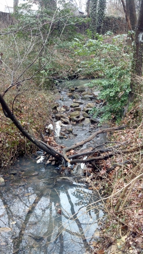
photo ee: |
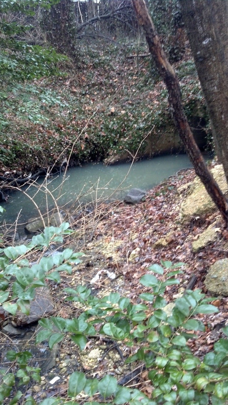
photo ff: |
|
On the south side of the Brookfield complex, the east fork drains the Brookfield strip mall, Springfield Gardens, and the neighborhood abutting to the south (photos gg and hh). |
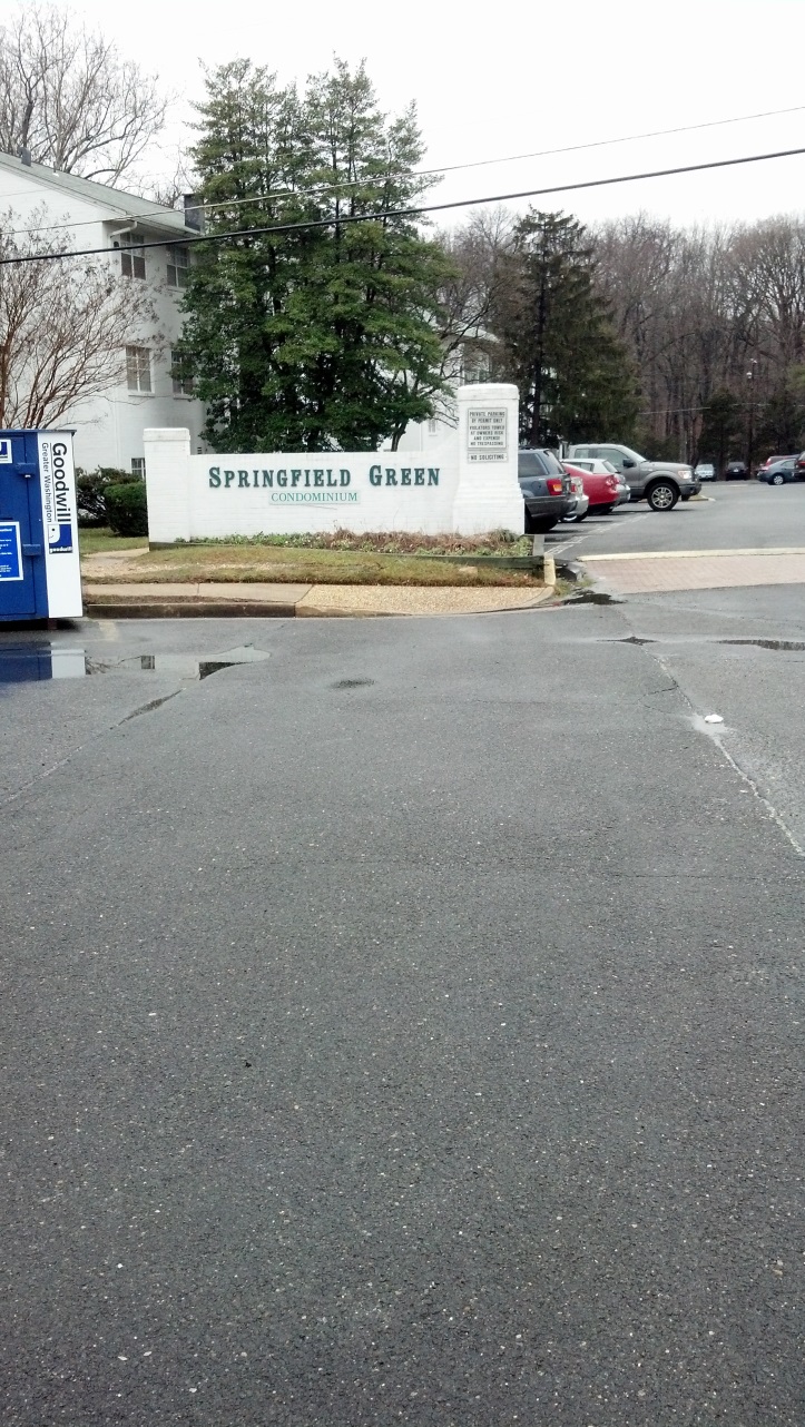
photo gg: |
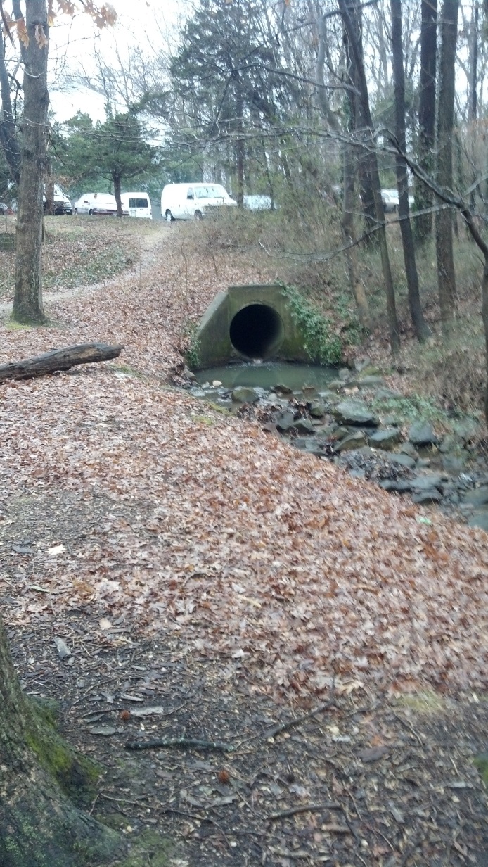
photo hh: |
|
Both sides of Backlick in the Brookfield Plaza are almost completely commercial impervious surfaces. The area to the east of Backlick (photos ii and jj) seems to drain to a storm sewer system whose routing is not apparent to me. 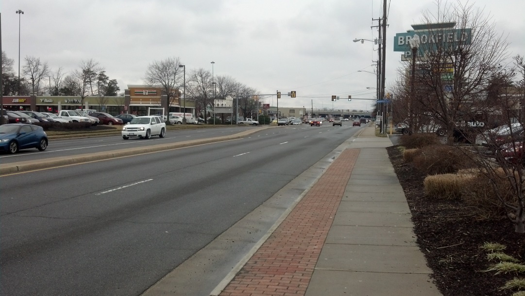
photo ii: 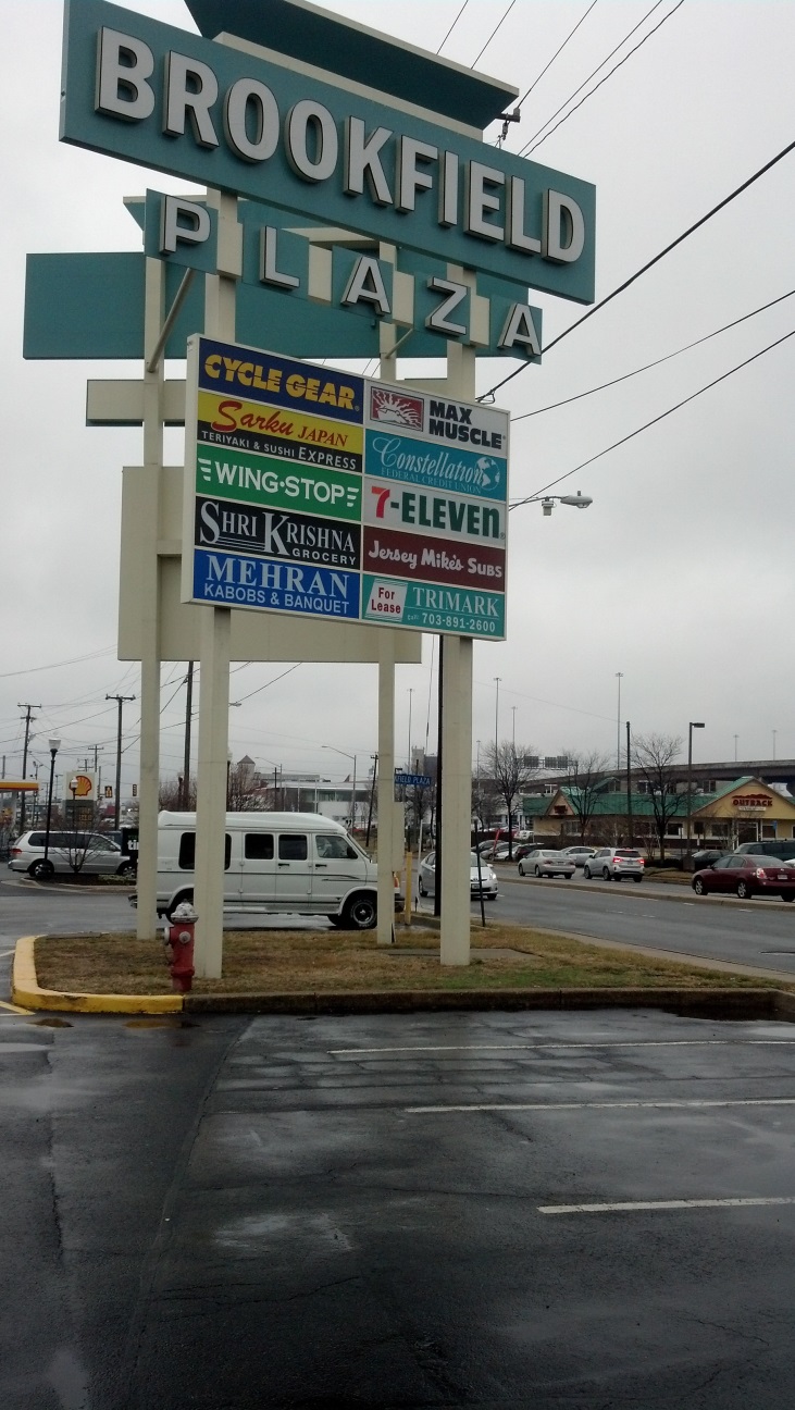
photo jj: South fork watershed. For the most part, the south fork of Calamo Branch drains residential areas. From its confluence upwards, it flows down Spring Road after passing under Oriole Avenue (photo kk). 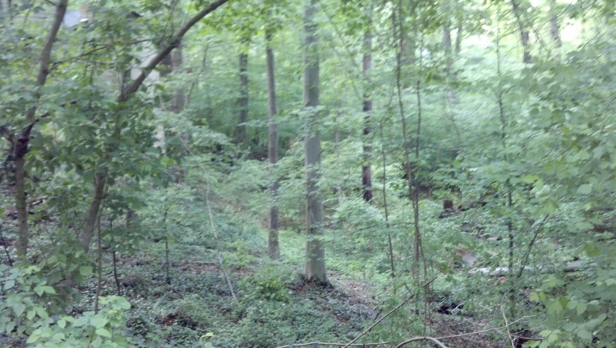
photo kk: From Oriole upwards, it flows in a relatively small channel that shows low erosion and persistent vegetation on its banks. This is an area that is gently sloped and infested with English ivy (photos ll and mm). |
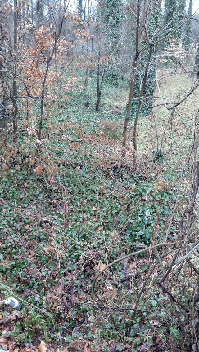
photo ll: |
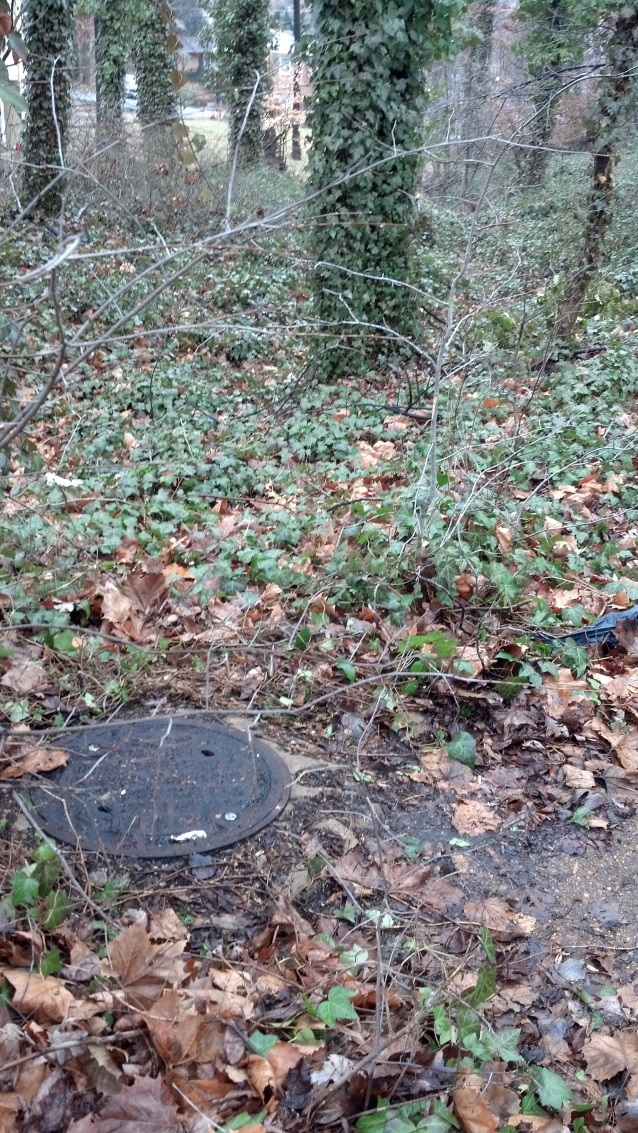
photo mm: |
|
The south fork flows through the only retention pond in the Calamo Branch watershed, at the corner of Villa Park Road and Ben Franklin Road (photos nn and oo). In addition to detaining storm runoff, the detention pond retains large quantities of trash. |
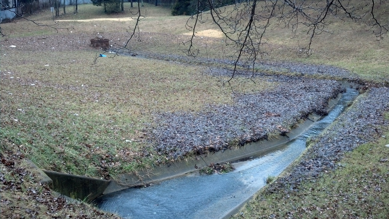
photo nn: |
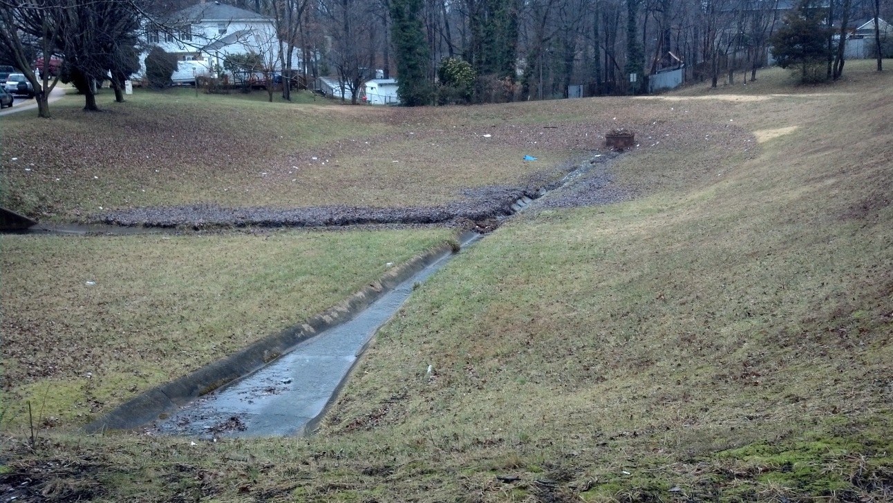
photo oo: |
|
Upstream of the detention pond, the south fork runs down a gentle slope. Some attempts by developers and the community to preserve it as a neighborhood asset are evident, though neglected. It collects water from the neighborhoods to the west and southwest (photos pp and qq). |
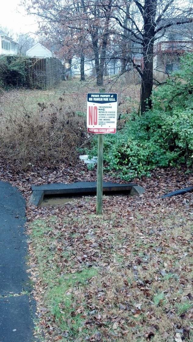
photo pp: |
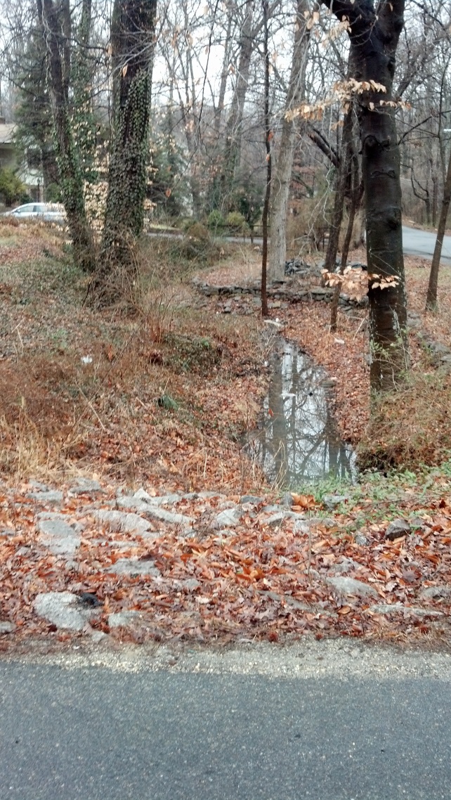
photo qq: |
|
The south fork of the Calamo Branch is bounded approximately by the Backlick from Villa Road south, the Franconia-Springfield Parkway to the south (photo rr), and the ridge between Ridgeway Drive and Hunters Oak Court to the west. 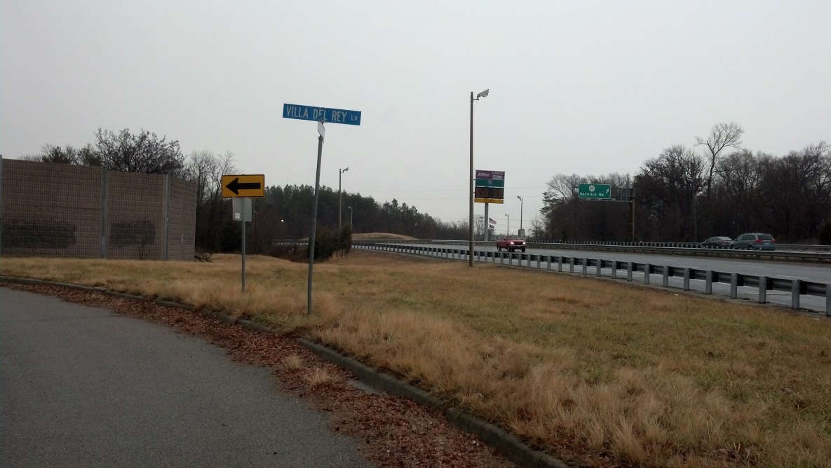
photo rr: Share your own observations/comments on Calamo Branch or other sections of the Accotink Creek watershed. |