|
Accotink Creek Main Stem 16 |
|
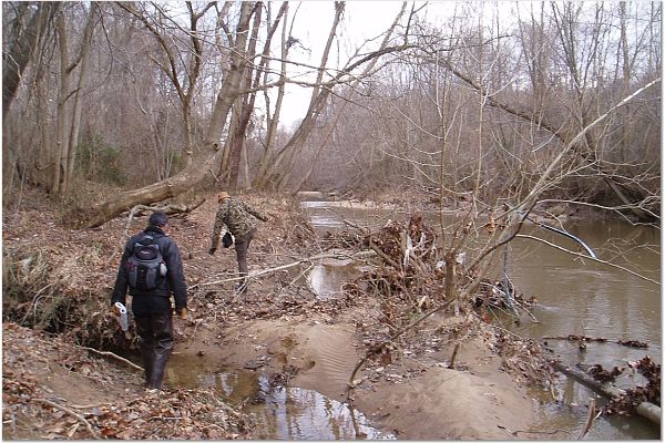
December, 2015, Walked upstream along unnamed tributary that enters Accotink Creek below Fullerton Road
Boston Blvd tributary photos at Shutterfly 9 July, 2014, Canoed downstream from Alban Road to Telegraph Road. A notable sight along this stretch of Accotink Creek is the extensive and impressive graffiti display beneath the I-95 bridge. Immediately downstream from I-95 is the CSX railroad trestle. Accotink Creek along this stretch is largely bounded by undeveloped and unmarked Fairfax County parks. Except for the portion just downstream from Alban Road, wooded buffer is good along both banks and there are no houses or buildings visible from the creek. A disappointing sight was the sediment control booms used during the 2009 widening of I-95, washed away and now part of the trash found along the creek. |
|
|
February 5, 2006, Hiked upstream from Telegraph Road to the Engineer Proving Ground.
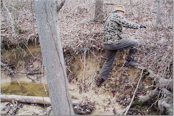
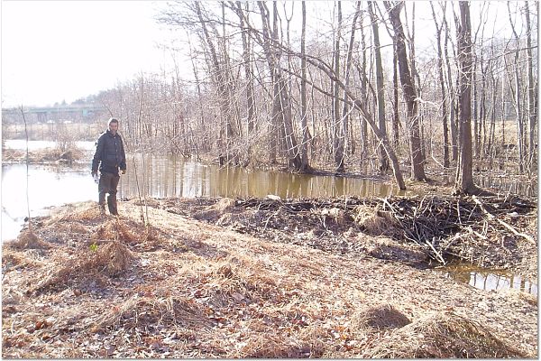
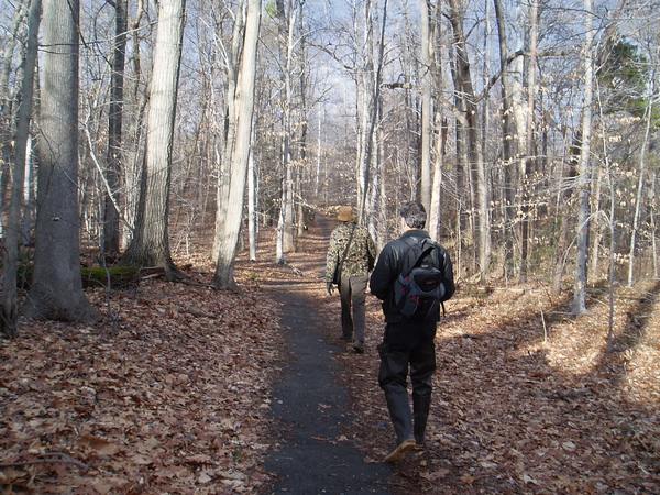
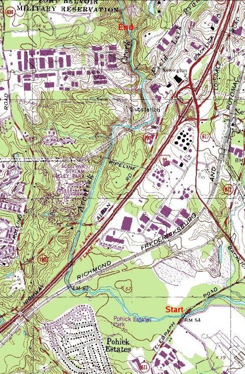
Location: Lower Accotink Creek, walking upstream from the northern boundary of Fort Belvoir at Telegraph Road, over four miles to the southern boundary of the Engineer Proving Ground, just north of Fullerton Road. Observations: Beaver dams, red-tailed hawks, pileated woodpeckers, the fresh tracks of deer, fox, and raccoon within earshot of the drone of I-95 traffic give hope for the health of the neglected, overlooked stretches of Accotink Creek. Yet, alongside these are the clear signs of ill health - mounds of trash, undercut stream banks, silt-laden water, toppled trees caused by excessive runoff, and innumerable invasive multiflora rose bushes and vines. Conditions on this stretch of Accotink Creek range from a dumping grounds to "no-worse-than-usual" for a stream that is quickly filled to the banks with storm runoff. The Friends of Accotink Creek expect to undertake some of their initial cleanup efforts at sites found here. Duane Murphy and Philip Latasa were joined by Clair Garman, the webmaster for Friends of Accotink Creek and its sister group in Maryland, Friends of Sligo Creek www.fosc.org.
Philip and Clair entering park just West of Telegraph Road, a calm section of Accotink Creek. Note the plastic trash hanging in the tree due to rapidly rising water from runoff during the previous day's gentle rainfall.
Deep ditch drains water from Industrial park to Accotink Creek.
Large tree washed out of bank.
Tree about to be washed from bank and into Accotink Creek.
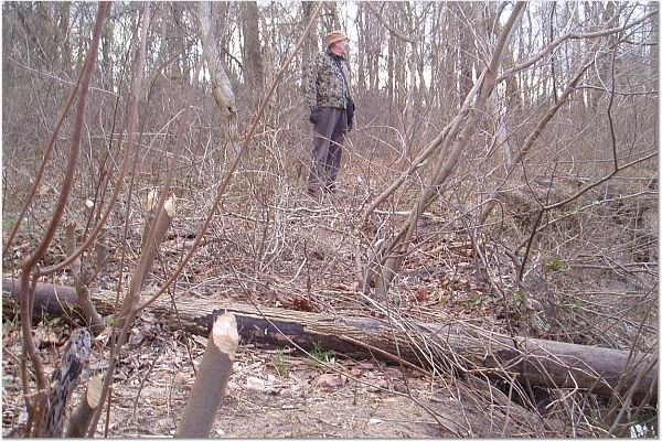
Freshly gnawed saplings reveal beaver activity on lower Accotink Creek.
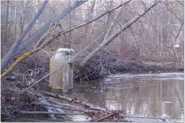
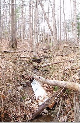
What is it, a Storm Drain or a Sanitary Sewer that is now in the stream due to bank erosion between RR and I-95? Note tree in foreground has fallen and two other trees are in main flow and about to fall. The top appears to be recently repaired. Is that a vent pipe into which high water can flow?
Active beaver dam on an Accotink Creek tributary between CSX tracks and I-95.
A well shaded trail maintained by Springfield Oaks Community, just north of I-95.
Ditch from housing area leading to Accotink Creek.
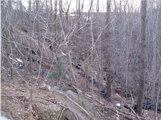
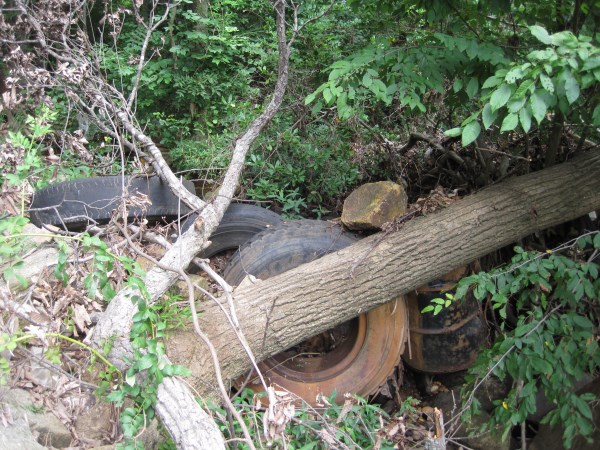
An illegal dump where we saw an estimated 500 tires,at least one battery and other trash in a ravine where a storm drain outfall drains into Accotink Creek? This steep ravine near an industrial park on the west side of Accotink Creek, north of Fullerton Road, can become a mosquito breeding grounds when the weather warms.
 More Photos, July 31, 2012:
Accotink Creek runs under power lines below Fullerton Road – no trees allowed.
Abandoned roadbed below Fullerton Road is an obstacle to fish migration.
Abandoned roadbed below Fullerton Road is an obstacle to fish migration.
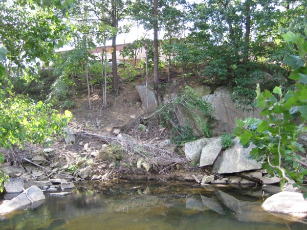
Steep slope, little buffer below Fullerton Road
Accotink Creek runs under power lines below Fullerton Road – no trees allowed.

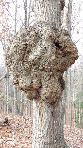
Impressive tree burl
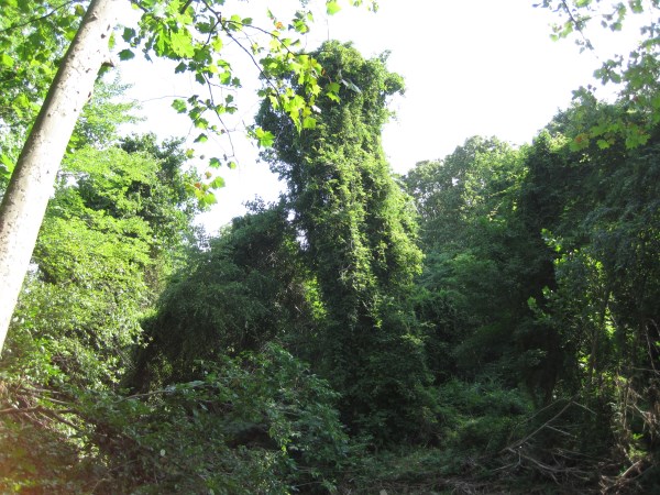
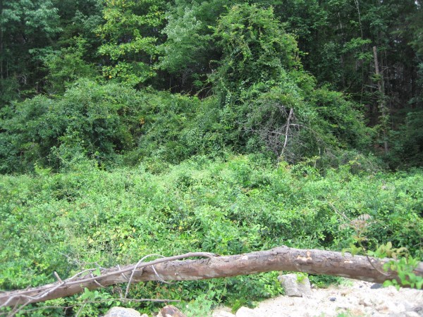
Tree covered by invasive alien Chinese wisteria - common near Fullerton road
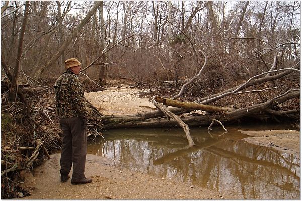
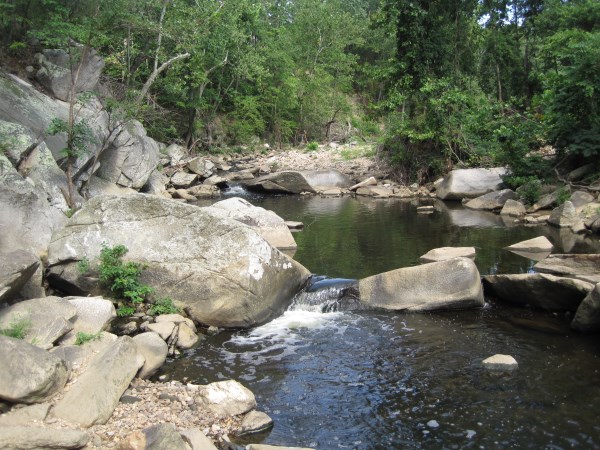
View of Accotink Creek below Fullerton Road bridge. The creek runs over boulders and bedrock.
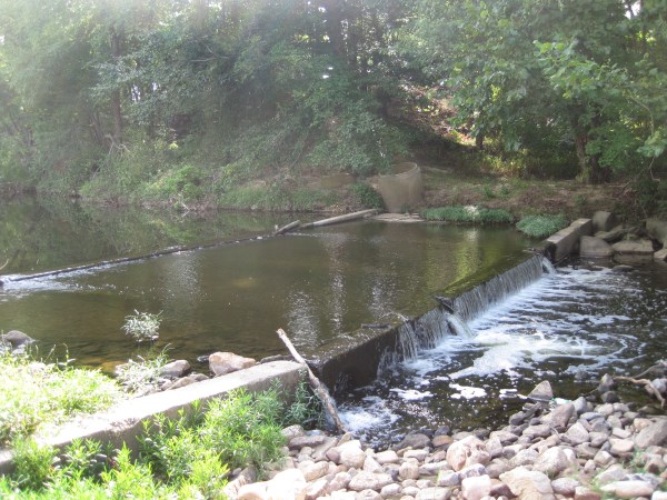
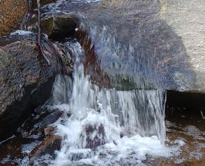
“Great Falls of the Accotink” Above Fullerton Road.
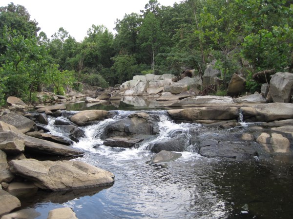
“Great Falls of the Accotink” Above Fullerton Road.
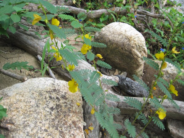
Native partridge pea above Fullerton Road
Rampant invasive alien Chinese wisteria above Fullerton Road.
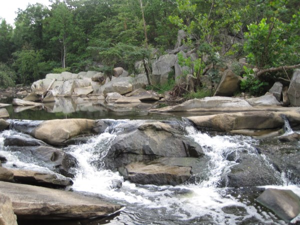
View of Accotink Creek above Fullerton Road running over boulders and bedrock
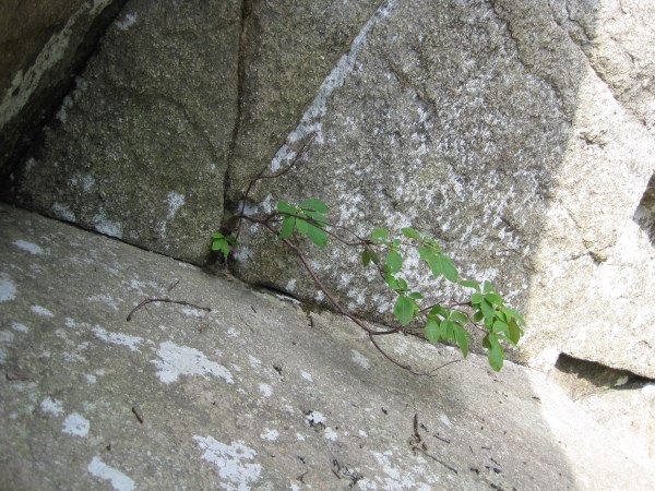
Determined native azalea grows from stone above Fullerton Road.
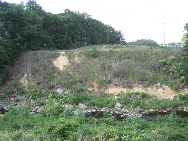
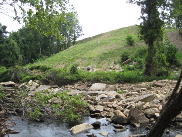
The forest was sacrificed here to build a Fairfax County Parkway offramp
Tributary beside Ward Park Lane still has dumping issues
Tributary beside Ward Park Lane still has dumping issues, but is much improved over our first visit.
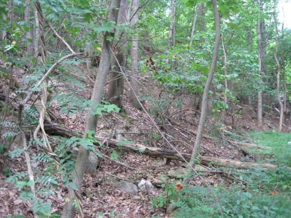
Tributary beside Ward Park Lane still has dumping issues, but is much improved over our first visit.
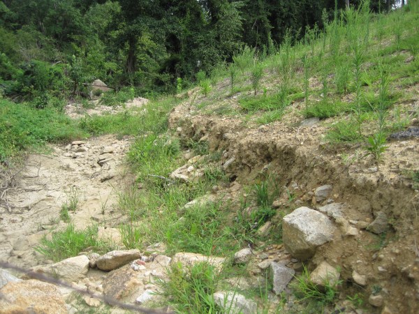
Is this offramp slope in trouble already?
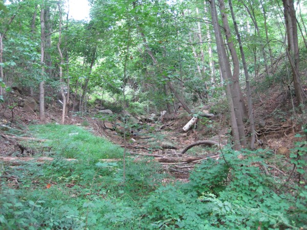
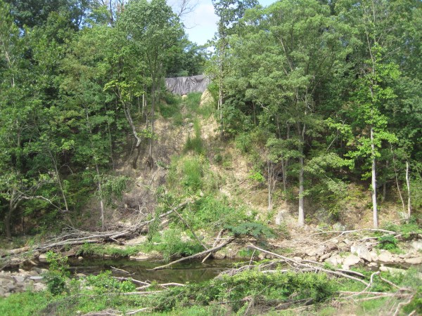
Site of recent landslide below Ward Park Lane. Landowner has placed tarp at the top.
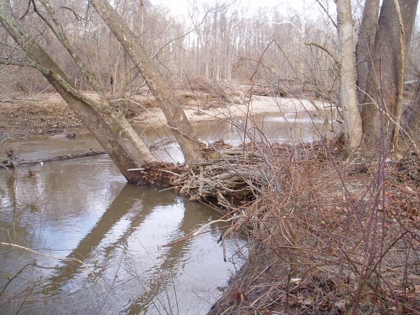
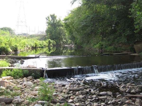
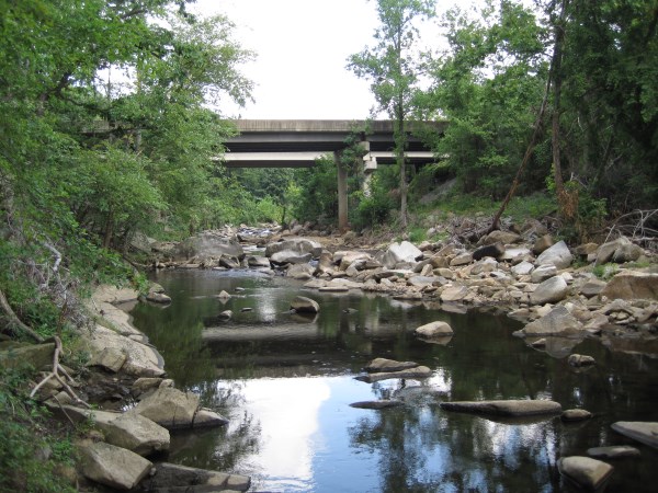
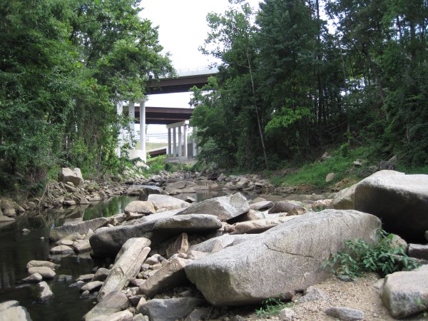
View of Accotink Creek below new Fairfax County Parkway bridges
 Share your own observations/comments on Main Stem 16 or other sections of the Accotink Creek watershed. |
 This little stream running parallel to Boston Blvd has several picturesque tiny waterfalls well worth a visit. Sadly, it is also worth a visit by cleanup volunteers, as it has trash and dumping issues. Nonetheless, the banks are largely well-buffered with broad wooded areas. No fish were observed, and it is likely the waterfalls prevent their passage. The course of this tributary flows through property of the adjacent industrial park, Rolling Road Estates homeowners association, and Fairfax County Park Authority.
 Purpose: To assess the condition of the Accotink Creek streambed and locate potential locations for stream cleanup events.