On May 20 and 22, 2008, I walked portions of the proposed trail path again after stakes had been placed marking the clearing limits.
A truly disapointing amount of the path ignores the existing cleared areas. Where the path does follow existing cuts, the contractor is not satisfied with the area available. The path to be cleared is typically 30-plus feet wide, sometimes much more, up to over 100 feet near the bridge sites.
It amounts to building a one-lane truck road to accommodate road-building equipment ill-suited for use in natural areas, then calling the results a "trail". The process drives the outcome steadily toward asphalt and away from nature. Whose interests are served beside the contractor's? Even those citizens who desire a hard-paved trail cannot wish for this.
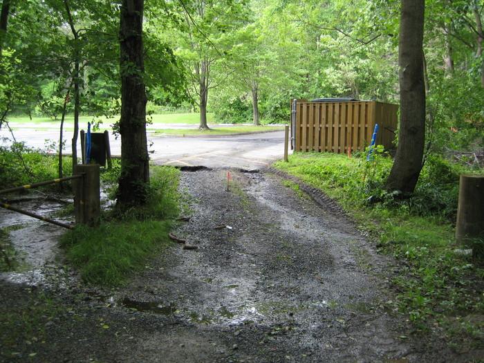
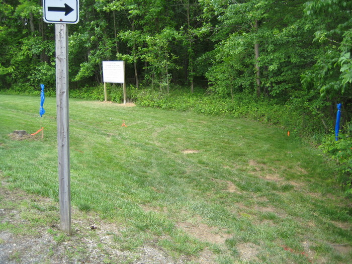
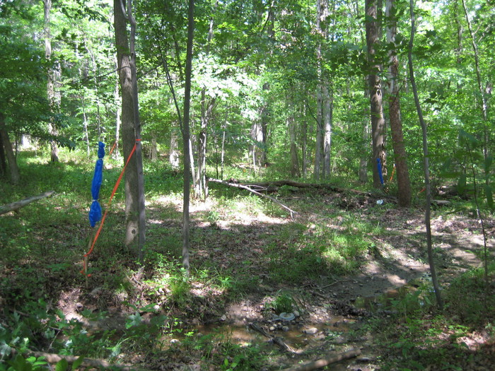
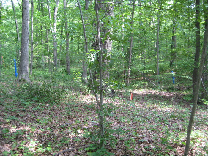
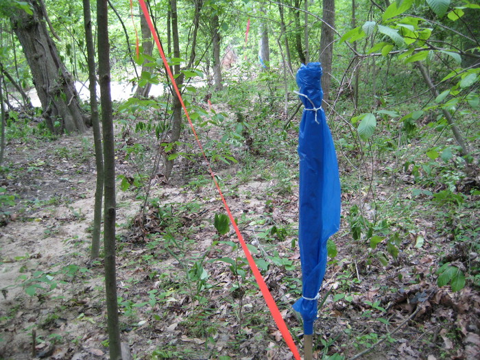
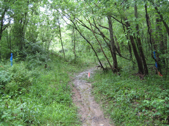
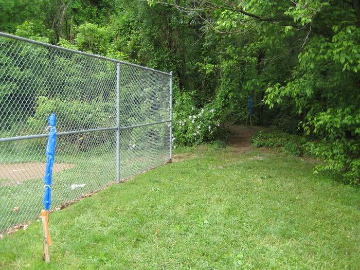
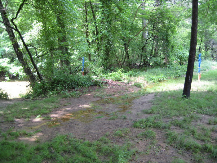
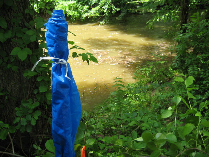
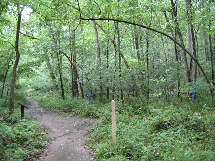
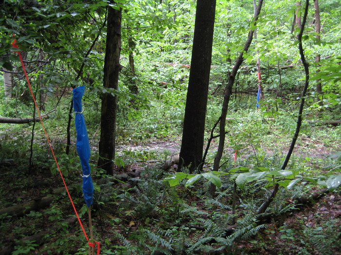
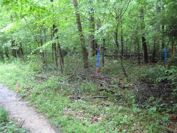
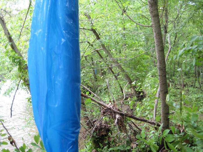
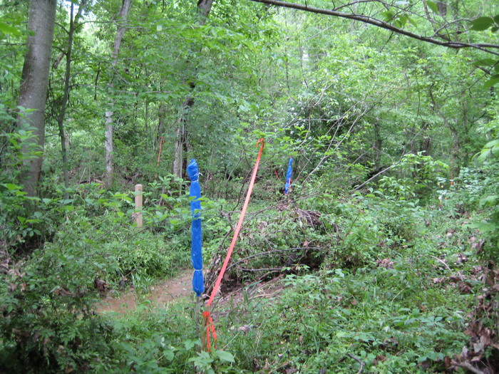
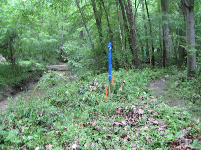
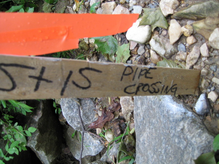
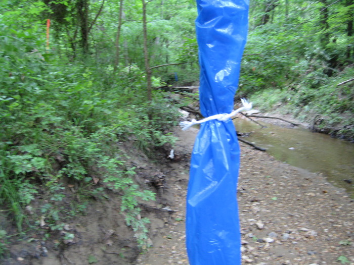
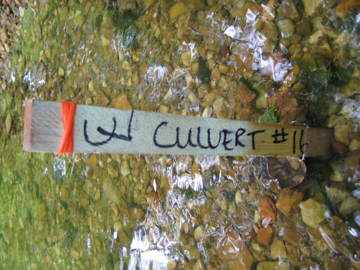
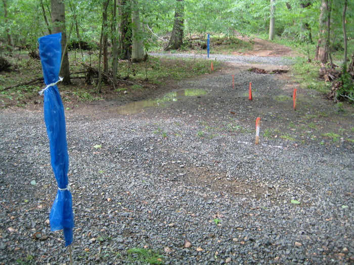
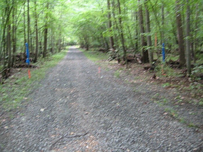
Here are some "during" photos. The blue stakes were placed to make the location of surveyor's stakes more visible in the photos, showing the location and width of the path marked for clearing.
May, 2008: Off Hunter Village Dr, 26' wide
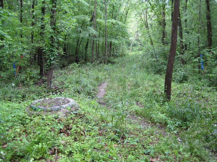
May, 2008: East of Hunter Village Dr, overlapping sewer cut, 35' wide
May, 2008: West of south bridge site, outside sewer cut, 30' wide
May, 2008: South bridge site, 105' wide
May, 2008: Just south of Old Keene Mill, straddling sewer cut, 25' wide
May, 2008: Byron Ave Park, 57' wide
May, 2008: Byron Ave Park, 22' wide, creek on left
May, 2008: Byron Ave Park, too close to creek
May, 2008: Just north of Byron Ave Park, width not noted
May, 2008: North of Byron Ave Park, straddling sewer cut, 35' wide
May, 2008: North of Byron Ave Park, 16' wide
May, 2008: North of Byron Ave Park, straddling sewer cut, 40' wide
May, 2008: Middle bridge site, 75' wide, 36' outside sewer cut
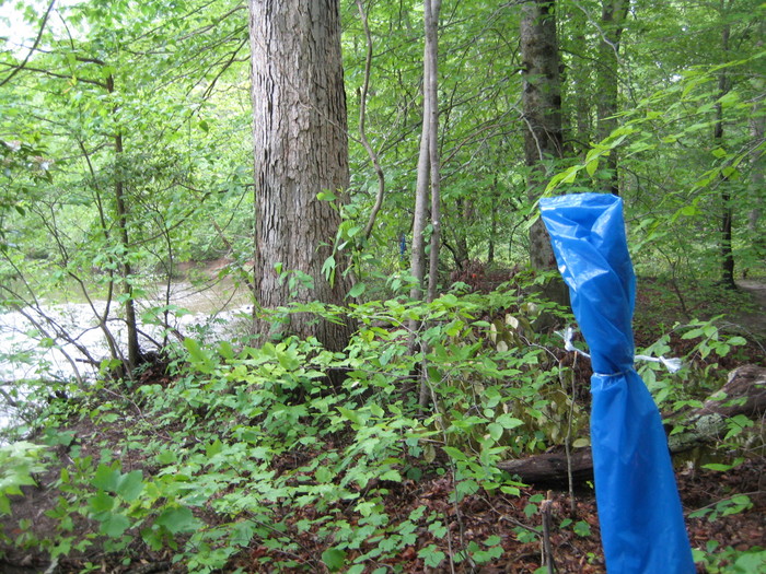
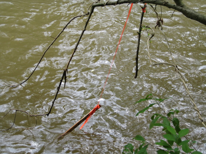
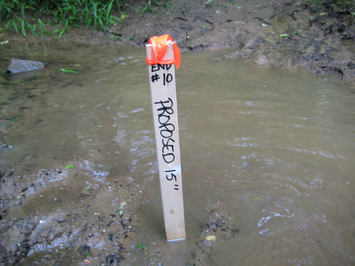
May, 2008: North bridge site, marker stake floating after rain
May, 2008: North bridge site, 90' wide, 80' outside sewer cut
May, 2008: North of north bridge site, tributary to be put in culvert, one of many
May, 2008: North of north bridge site, 28' wide
May, 2008: North of north bridge site, 19' wide
From bridge ...
... to pipe
May, 2008: Outside sewer cut, but straddling CCT at tributary bridge, 115' wide. An error?
May, 2008: Tributary bridge below Lake Accotink Park office, 102' wide. Another error?
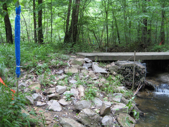
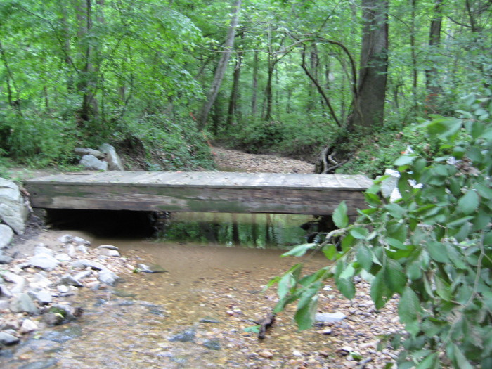
May, 2008: The 8' wide tributary bridge, which survived the floods of 2006 and 2008, to become a culvert.
May, 2008: Confusing, too many stakes at Lake Accotink Park office spur trail
May, 2008: Below Lake Accotink dam, even this truck-sized road is not big enough.
May, 2008: Emerging to Lake Accotink dam parking area, and taking out one last tree